Woopicx
37
Assets

Map Icons 3D Icons

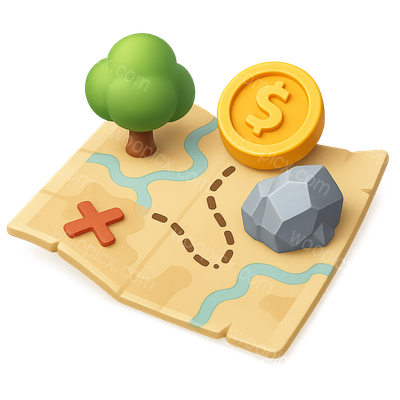
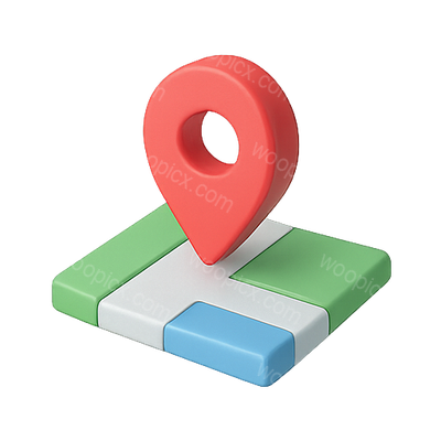
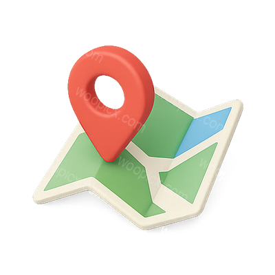
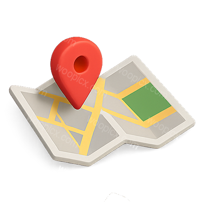
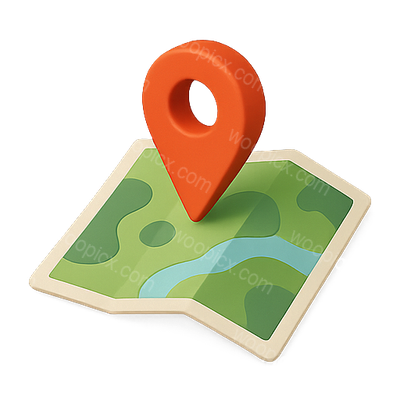
36 map surfaces — isometric maps with pins, country outlines, hazard zones, route tracking.
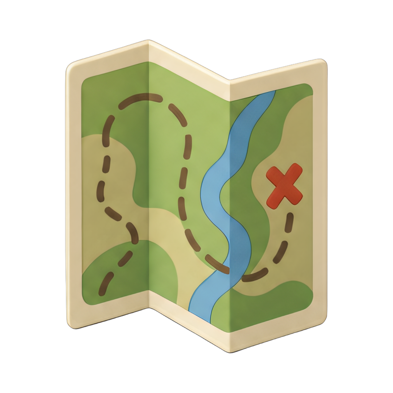
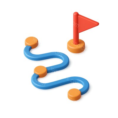
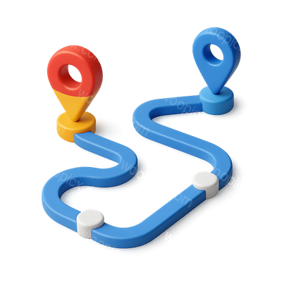
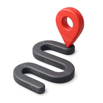
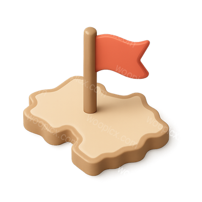
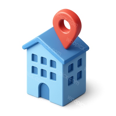
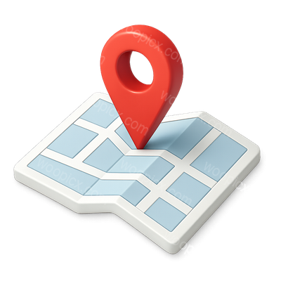
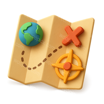
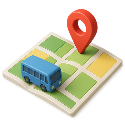
folded trail map on table3D Isometric Map Icon with ResourcesColorful 3D Scroll Icon with Red Ribbon3D Isometric Journey Path Icon with Flag3D Journey Path Icon with Map Markers in Isometric View3D Photogrammetry Mapping Icon with Isometric DesignStylish 3D Location Marker Icon with Plus Sign3D Map Marker Icon with Isometric View3D Map Icon with Location Marker and Arrows3D Hazard Map Icon with Location Marker3D Map Icon with Marker and Path Design3D Delivery Truck Icon with Location Pin3D Delivery Truck Icon with Location Pin3D Delivery Truck Icon with Location MarkerColorful 3D Route Icon Between Two Locations3D Map Icon with Marker and Path in Isometric View3D Location Marker on Map Icon in Isometric View3D Winding Route Icon with Location MarkerStylized 3D Map Icon with Flag in Isometric ViewStylized 3D Building Icon with Location Marker3D Isometric Map Marker Icon Design for Navigation3D Adventure Map Icon with Earth and Compass Elements3D Isometric Map Icon with Location Pin3D Isometric Transport Map Icon with Bus and Location Pin3D Road Map Graphic with Location Pins3D Location Pin Icon with Map Background3D Compass Icon with Vibrant Colors3D Directional Signpost Icon for Navigation3D Map Marker Icon for Transportation3D Map Illustration with Location Pin Icon3D Render of Peru Map with Flag ColorsColorful Heatmap Location Pin on a Map Graphic3D House Icon with Location Pin for Real EstateStylized Map Icon with Navigation Arrow3D Map Graphic with Location Pin3D Directional Signpost with Colorful Arrows3D Map Illustration with Location Pin

Explore More Categories

A pin needs something to be stuck into. That is what this category provides: the map itself, drawn isometrically so a pin, a truck or a route can sit on top of it and stay in perspective. Used with the location category, the two make a complete navigation set.

Design Examples

See how these icons look in real website designs

What is in the set

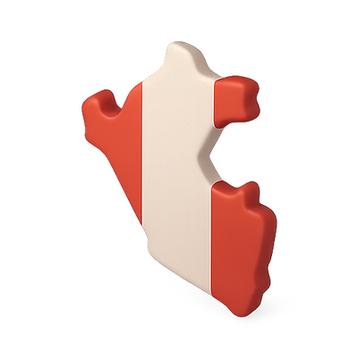
Isometric map surfaces with location markers, alone and in combination. Country and region maps such as Peru rendered in flag colours. Specialist mapping including hazard maps and photogrammetry. Route and transport markers. Plus delivery maps showing a vehicle against a mapped area.

Where these work best

Navigation and route planning, store locators, delivery tracking, travel guides, and any dashboard with a geographic dimension. Location has the pins; globe covers the international scale.

Frequently asked questions

Are these world maps?
Mostly generic isometric map surfaces and a few country maps — not a complete geographic atlas.
Do they pair with the location pins?
Yes, that is the intended use: the map from here, the marker from the location category, same perspective.
How many are free?
A little under half of the 36; the rest come with a subscription.